
The Banstead Image Library
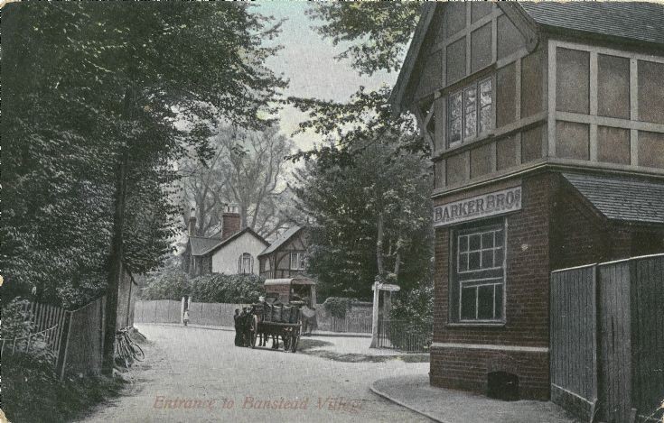
EASTERN END OF BANSTEAD HIGH STREET


View from the top of Sutton Lane towards Park Road.
This gives a very good impression of how narrow the corner was !
Interesting to compare this with picture #177 taken around half a century later.
The former Well House Farm lies off to the left.
Note from LNW: The signpost and central island was eventually to become the site of the WW1 memorial. Note that the 'traffic' at the time was two-way and the central island was not used as a roundabout. The road was to be significantly widened and the location of today's mini roundabout is well to the right-hand side of the sign post and not shown in this image.
Picture added on 20 September 2016 at 14:29
This picture is in the following groups
Roads (all)
Roads (all)
External Links
Banstead History
Banstead History
Banstead